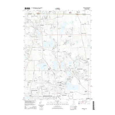
2015 Map of Antioch
USGS Topo · Published 2015About this map
Glacial lakes and wetlands define this portion of the Illinois-Wisconsin border, where the village of Antioch serves as a central hub. The landscape is a complex network of water bodies, including the expansive Lake Catherine, Petite Lake, and the finger-like reaches of Loon Lake. The residential growth of the modern era is evident in the dense street grids of Lindenhurst, Lake Villa, and Round Lake Beach, yet pockets of earlier history remain visible through sites like Hillside Cem and Hickory Union Cem.
Find a feature on this map
101 named features on this map. Tap any name to fly to it.
Don’t see what you’re looking for? This feature index may not catch every label — zoom into the map to look around manually.
Map Details
Editions of this 2015 Antioch Map
This is the sole edition of this map. No revisions or reprints were ever made.
Other maps of this area

1892 · Racine
USGS Topo · 1:62,500

1893 · Silver Lake
USGS Topo · 1:62,500

1905 · Racine
USGS Topo · 1:62,500

1906 · Silver Lake
USGS Topo · 1:62,500

1906 · Waukegan
USGS Topo · 1:62,500

1908 · Waukegan
USGS Topo · 1:62,500

1920 · Grays Lake
USGS Topo · 1:62,500

1923 · Grays Lake
USGS Topo · 1:62,500

1954 · Rockford
USGS Topo · 1:250,000

1955 · Rockford
USGS Topo · 1:250,000