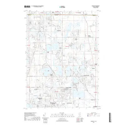
2018 Map of Antioch
USGS Topo · Published 2018About this map
Antioch and its surrounding glacial lake landscape dominate this study of the Illinois-Wisconsin borderlands. The geography is defined by a dense network of water bodies, from Lake Marie and Petite Lake in the west to the cluster of Deep Lake, Cedar Lake, and Sand Lake further south. These lakes, punctuated by features like Cedar Island, have long shaped the residential patterns of communities such as Lake Villa and Lindenhurst. The map traces the early 21st-century suburban footprint, yet maintains records of the area's older foundations through numerous local burial grounds including Hillside Cem, Hickory Union Cem, and Angolian Cem. Transportation and utility infrastructure is represented by the Donald Alfred Gade Airport and the managed waters of the Dutch Gap Canal, while the southern reaches of the map transition into the growing centers of Round Lake Beach and Grayslake.
Find a feature on this map
71 named features on this map. Tap any name to fly to it.
Don’t see what you’re looking for? This feature index may not catch every label — zoom into the map to look around manually.
Map Details
Editions of this 2018 Antioch Map
This is the sole edition of this map. No revisions or reprints were ever made.
Other maps of this area

1892 · Racine
USGS Topo · 1:62,500

1893 · Silver Lake
USGS Topo · 1:62,500

1905 · Racine
USGS Topo · 1:62,500

1906 · Silver Lake
USGS Topo · 1:62,500

1906 · Waukegan
USGS Topo · 1:62,500

1908 · Waukegan
USGS Topo · 1:62,500

1920 · Grays Lake
USGS Topo · 1:62,500

1923 · Grays Lake
USGS Topo · 1:62,500

1954 · Rockford
USGS Topo · 1:250,000

1955 · Rockford
USGS Topo · 1:250,000