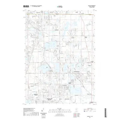
2021 Map of Antioch
USGS Topo · Published 2021About this map
Antioch sits at the heart of this post-millennium landscape, where the glacial legacy of Lake County is evident in a dense concentration of water bodies. The terrain is defined by the proximity of Deep Lake, Cedar Lake, and the sprawling Loon Lake system, which have long shaped the residential and recreational development of communities like Lake Villa and Lindenhurst. The map traces the transition from these established village centers to the newer residential footprints in Venetian Village and West Miltmore.
Find a feature on this map
61 named features on this map. Tap any name to fly to it.
Don’t see what you’re looking for? This feature index may not catch every label — zoom into the map to look around manually.
Map Details
Editions of this 2021 Antioch Map
This is the sole edition of this map. No revisions or reprints were ever made.
Other maps of this area

1892 · Racine
USGS Topo · 1:62,500

1893 · Silver Lake
USGS Topo · 1:62,500

1905 · Racine
USGS Topo · 1:62,500

1906 · Silver Lake
USGS Topo · 1:62,500

1906 · Waukegan
USGS Topo · 1:62,500

1908 · Waukegan
USGS Topo · 1:62,500

1920 · Grays Lake
USGS Topo · 1:62,500

1923 · Grays Lake
USGS Topo · 1:62,500

1954 · Rockford
USGS Topo · 1:250,000

1955 · Rockford
USGS Topo · 1:250,000