Loading...
Loading map...2022 Map of Antioch
USGS Topo · Published 2022About this map
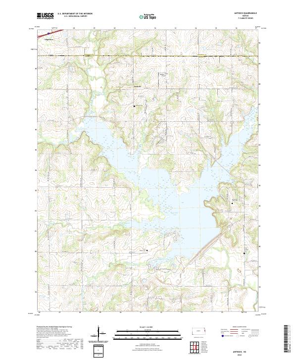
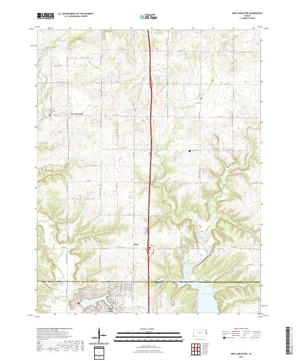
Hillsdale Lake dominates the southern half of this landscape on the border of Johnson and Miami counties. This reservoir is fed by a complex drainage system including Bull Creek, Rock Creek, and Wade Branch, illustrating the modern water management patterns of eastern Kansas. Near the northern margin, the settlement of Antioch remains a focal point of the local rural community, situated amidst several significant genealogical sites.
Find a feature on this map
69 named features on this map. Tap any name to fly to it.
Don’t see what you’re looking for? This feature index may not catch every label — zoom into the map to look around manually.
Map Details
Date Portrayed2022
Date Published2022
PublisherU.S. Geological Survey
Map TypeTopographic
Scale1:24000
Physical Dimensions24 x 29 inches
Editions of this 2022 Antioch Map
This is the sole edition of this map. No revisions or reprints were ever made.
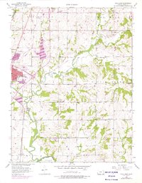
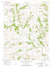
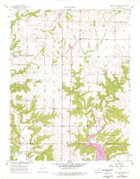
Historical Maps of Johnson County Through Time
8 maps found
Featured Locations
Source Details
SourceU.S. Geological Survey
CopyrightPublic Domain