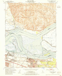
1953 Map of Antioch North
USGS Topo · Published 1955About this map
The Sacramento River and San Joaquin River converge in this mid-century survey, creating a complex network of waterways, sloughs, and industrial corridors. In the south, the city of Antioch serves as a hub of education and transport, featuring the John Marsh Sch and the Jr High School alongside the tracks of the Southern Pacific and Atchison Topeka and Santa Fe railroads. To the west, the industrial character of Pittsburg is dominated by a large Steel Mill along New York Slough. North across the water, the terrain shifts abruptly to the agricultural and open landscapes of the Montezuma Hills and the small settlement of Collinsville. This map captures a landscape defined by the intersection of heavy industry, rail logistics, and the tidal dynamics of the delta islands like Sherman Island and Winter Island.
Find a feature on this map
53 named features on this map. Tap any name to fly to it.
Don’t see what you’re looking for? This feature index may not catch every label — zoom into the map to look around manually.
Map Details
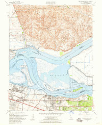
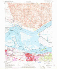
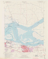
Editions of this 1953 Antioch North Map
4 editions found
Other maps of this area

1896 · Mt. Diablo
USGS Topo · 1:62,500

1898 · Mt. Diablo
USGS Topo · 1:62,500

1907 · Antioch
USGS Topo · 1:62,500

1908 · Antioch
USGS Topo · 1:62,500

1910 · Rio Vista
USGS Topo · 1:31,680

1910 · Jersey
USGS Topo · 1:31,680

1914 · Brentwood
USGS Topo · 1:31,680

1916 · Lone Tree Valley
USGS Topo · 1:31,680

1916 · Byron
USGS Topo · 1:62,500

1918 · Honker Bay
USGS Topo · 1:31,680