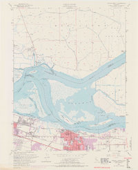
1953 Map of Antioch North
USGS Topo · Published 1969About this map
The Sacramento River and San Joaquin River converge in this mid-century survey, defining a complex landscape of islands and tidal sloughs. Industrial activity is centered in Pittsburg, where a Steel Mill stands near the shoreline of New York Slough. Further east, the expanding footprint of Antioch is documented with municipal and educational landmarks including City Hall, the John Muir School, and Jr High School.
Find a feature on this map
62 named features on this map. Tap any name to fly to it.
Don’t see what you’re looking for? This feature index may not catch every label — zoom into the map to look around manually.
Map Details
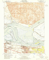
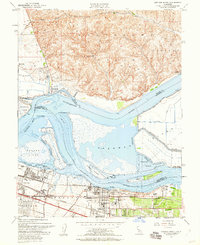
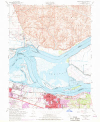
Editions of this 1953 Antioch North Map
4 editions found
Other maps of this area

1896 · Mt. Diablo
USGS Topo · 1:62,500

1898 · Mt. Diablo
USGS Topo · 1:62,500

1907 · Antioch
USGS Topo · 1:62,500

1908 · Antioch
USGS Topo · 1:62,500

1910 · Rio Vista
USGS Topo · 1:31,680

1910 · Jersey
USGS Topo · 1:31,680

1914 · Brentwood
USGS Topo · 1:31,680

1916 · Lone Tree Valley
USGS Topo · 1:31,680

1916 · Byron
USGS Topo · 1:62,500

1918 · Honker Bay
USGS Topo · 1:31,680