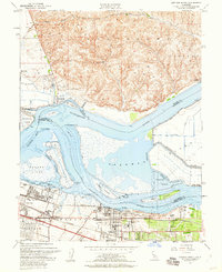
1953 Map of Antioch North
USGS Topo · Published 1960About this map
Montezuma Hills rise to the north, overlooking the complex confluence where the Sacramento River and San Joaquin River meet at the head of Suisun Bay. This early 1950s survey documents a landscape defined by its tidal marshes and islands, such as Kimball Island and Chain Island, and the critical industrial waterfronts of Pittsburg and Antioch. The map captures the industrial character of the era, showing a prominent Steel Mill in Pittsburg and the Atchison Topeka and Santa Fe railroad corridor. While the southern shore is heavily developed with settlements like Los Medanos and schools like the John Muir School, the northern shore in Solano County remains sparsely populated, anchored by the river landings at Collinsville and Toland Landing. The detailed mapping of the Mayberry Slough Levee system illustrates the ongoing efforts to reclaim and protect these delta lowlands for agriculture and industry.
Find a feature on this map
56 named features on this map. Tap any name to fly to it.
Don’t see what you’re looking for? This feature index may not catch every label — zoom into the map to look around manually.
Map Details
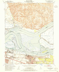
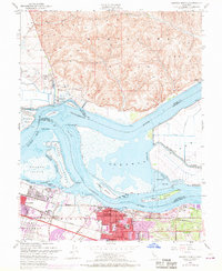
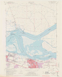
Editions of this 1953 Antioch North Map
4 editions found
Other maps of this area

1896 · Mt. Diablo
USGS Topo · 1:62,500

1898 · Mt. Diablo
USGS Topo · 1:62,500

1907 · Antioch
USGS Topo · 1:62,500

1908 · Antioch
USGS Topo · 1:62,500

1910 · Rio Vista
USGS Topo · 1:31,680

1910 · Jersey
USGS Topo · 1:31,680

1914 · Brentwood
USGS Topo · 1:31,680

1916 · Lone Tree Valley
USGS Topo · 1:31,680

1916 · Byron
USGS Topo · 1:62,500

1918 · Honker Bay
USGS Topo · 1:31,680