
1940 Map of Antler Peak
USGS Topo · Published 1960About this map
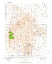
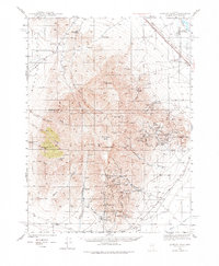
Mining operations and remote ranching outposts define this 1940 survey of the Battle Mountains. The landscape is heavily marked by the region's mineral wealth, centered on the high peaks of Antler Peak and North Peak. To the south, the Copper Canyon Mine and the Copper Canyon Placer Camp show an active industrial presence, while the eastern slopes of the range are dotted with dozens of claims including the Red Top Mine, Vail Placer, and the Buckingham Mine. This area represents a classic Great Basin mining district where specialized infrastructure like the Dewitt Mill and Trenton Canyon pipe lines supported hard-rock extraction.
Find a feature on this map
69 named features on this map. Tap any name to fly to it.
Don’t see what you’re looking for? This feature index may not catch every label — zoom into the map to look around manually.
Map Details
Editions of this 1940 Antler Peak Map
3 editions found
Other maps of this area

1932 · Sonoma Range
USGS Topo · 1:250,000

1939 · Sonoma Range
USGS Topo · 1:250,000

1943 · Antler Peak
USGS Topo · 1:62,500

1949 · Mt. Lewis
USGS Topo · 1:62,500

1950 · Mt. Lewis
USGS Topo · 1:62,500

1955 · Winnemucca
USGS Topo · 1:250,000

1957 · Battle Mountain
USGS Topo · 1:62,500

1958 · Winnemucca
USGS Topo · 1:250,000

1961 · McCoy
USGS Topo · 1:62,500

1962 · Winnemucca
USGS Topo · 1:250,000