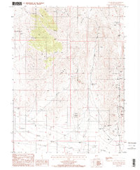
1984 Map of Antler Peak
USGS Topo · Published 1984About this map
Battle Mountain dominates the central landscape of this Nevada survey, a region deeply defined by its mid-20th-century extraction economy. The small settlement of Galena is situated near the Cem, serving as a focal point for the surrounding mining activity. Industrial operations are widespread, including the Copper Canyon Mine, Independence Mine, and the White and Shiloh Mine, which indicate a period of intense geological exploration and resource recovery.
Find a feature on this map
37 named features on this map. Tap any name to fly to it.
Don’t see what you’re looking for? This feature index may not catch every label — zoom into the map to look around manually.
Map Details
Editions of this 1984 Antler Peak Map
2 editions found
Other maps of this area

1932 · Sonoma Range
USGS Topo · 1:250,000

1939 · Sonoma Range
USGS Topo · 1:250,000

1940 · Antler Peak
USGS Topo · 1:62,500

1943 · Antler Peak
USGS Topo · 1:62,500

1955 · Winnemucca
USGS Topo · 1:250,000

1958 · Winnemucca
USGS Topo · 1:250,000

1961 · McCoy
USGS Topo · 1:62,500

1962 · Winnemucca
USGS Topo · 1:250,000

1962 · Buffalo Springs
USGS Topo · 1:62,500
1965 · Cherry Creek NE
USGS Topo · 1:24,000