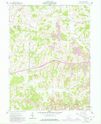
1962 Map of Antrim
USGS Topo · Published 1978About this map
Antrim and Middlebourne anchor this eastern Ohio landscape during a period of transition, where traditional ridge-top farming meets large-scale industrial activity. The terrain is defined by the sharp Hogback ridge and the winding valleys of Skull Fork and Millers Fork. A significant historical boundary, the United States Military District Seven Ranges Old States Boundary, cuts vertically through the center of the sheet, marking the legacy of early land surveys. While the northern half retains a rural character with landmarks like McCoy Ch and Bond Cem, the southern portions in Millwood and Oxford townships are heavily marked by extensive Strip Mines. This later 1970s revision also records the path of Interstate 70 as it bisects the region, bypassing older settlements and altering the local topography.
Find a feature on this map
27 named features on this map. Tap any name to fly to it.
Don’t see what you’re looking for? This feature index may not catch every label — zoom into the map to look around manually.
Map Details
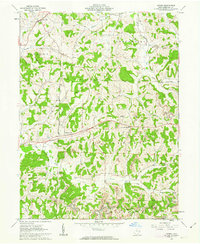
Editions of this 1962 Antrim Map
2 editions found
Other maps of this area

1903 · Flushing
USGS Topo · 1:62,500

1905 · Woodsfield
USGS Topo · 1:62,500

1905 · Flushing
USGS Topo · 1:62,500

1909 · Antrim
USGS Topo · 1:48,000

1909 · Summerfield
USGS Topo · 1:62,500

1911 · Antrim
USGS Topo · 1:62,500

1911 · Summerfield
USGS Topo · 1:62,500

1949 · Clarksburg
USGS Topo · 1:250,000

1951 · Canton
USGS Topo · 1:250,000

1953 · Canton
USGS Topo · 1:250,000