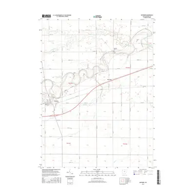
2016 Map of Antwerp
USGS Topo · Published 2016About this map
The Maumee River winds through the northwestern corner of Paulding County, shaping the settlement patterns and infrastructure of this Ohio landscape. Near the river's southern bend, the village of Antwerp is established along a network of historic transit corridors, including the Wabash and Erie Canal and Old US Hwy 24. This intersection of water and road highlights the town's evolution from a canal-era hub to a modern crossroads.
Find a feature on this map
42 named features on this map. Tap any name to fly to it.
Don’t see what you’re looking for? This feature index may not catch every label — zoom into the map to look around manually.
Map Details
Editions of this 2016 Antwerp Map
This is the sole edition of this map. No revisions or reprints were ever made.
Other maps of this area

1914 · Bryan
USGS Topo · 1:62,500

1914 · Paulding
USGS Topo · 1:62,500

1943 · Bryan
USGS Topo · 1:62,500

1944 · Paulding
USGS Topo · 1:62,500

1953 · Fort Wayne
USGS Topo · 1:250,000

1956 · Fort Wayne
USGS Topo · 1:250,000

1958 · Hicksville
USGS Topo · 1:24,000

1958 · Woodburn North
USGS Topo · 1:24,000

1958 · Woodburn South
USGS Topo · 1:24,000

1960 · Sherwood
USGS Topo · 1:24,000