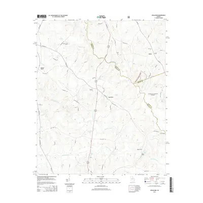
2014 Map of Apalachee
USGS Topo · Published 2014About this map
The Apalachee River and its numerous tributaries, including Hard Labor Creek, Big Sandy Creek, and Beaverdam Cr, define the complex drainage patterns of this Georgia landscape. At the center of the survey lies the settlement of Apalachee, situated along the Us-129 corridor between larger county seats. The map reveals a deeply rooted rural community, marked by family-name sites and several historical burial grounds such as Apalachee Prior Cem and Thrasher Cem.
Find a feature on this map
76 named features on this map. Tap any name to fly to it.
Don’t see what you’re looking for? This feature index may not catch every label — zoom into the map to look around manually.
Map Details
Editions of this 2014 Apalachee Map
This is the sole edition of this map. No revisions or reprints were ever made.
Other maps of this area

1896 · Monroe
USGS Topo · 1:125,000

1953 · Athens
USGS Topo · 1:250,000

1958 · Athens
USGS Topo · 1:250,000

1959 · Athens
USGS Topo · 1:250,000

1963 · Athens
USGS Topo · 1:250,000

1964 · Barnett Shoals
USGS Topo · 1:24,000

1964 · High Shoals
USGS Topo · 1:24,000

1964 · Watkinsville
USGS Topo · 1:24,000

1971 · Rutledge North
USGS Topo · 1:24,000

1972 · Buckhead
USGS Topo · 1:24,000