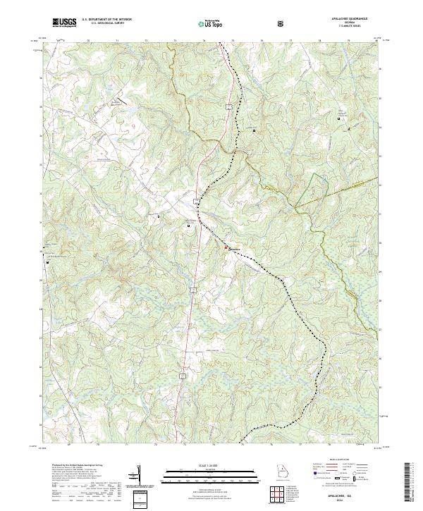
2024 Map of Apalachee
USGS Topo · Published 2024About this map
Apalachee sits at the heart of this landscape where the Apalachee River and Hard Labor Creek define the drainage of northern Morgan County. The area is characterized by a dense concentration of family and community burial grounds, including the Apalachee and Prior Cem, Thrasher Cem, and Almand Cem, providing significant spatial data for genealogical research. To the west, Southern Oaks Airport stands near Tap Lake, while the eastern portion of the map transitions into the protected woodlands of the Oconee National Forest. This modern record details a network of rural routes such as Nolan Store Rd and Old Madison Hwy, alongside numerous small water bodies like Youngblood Lake and Chambers Lake that dot the terrain between the river forks.
Find a feature on this map
75 named features on this map. Tap any name to fly to it.
Don’t see what you’re looking for? This feature index may not catch every label — zoom into the map to look around manually.
Map Details
Editions of this 2024 Apalachee Map
This is the sole edition of this map. No revisions or reprints were ever made.
Other maps of this area

1896 · Monroe
USGS Topo · 1:125,000

1953 · Athens
USGS Topo · 1:250,000

1958 · Athens
USGS Topo · 1:250,000

1959 · Athens
USGS Topo · 1:250,000

1963 · Athens
USGS Topo · 1:250,000

1964 · Barnett Shoals
USGS Topo · 1:24,000

1964 · High Shoals
USGS Topo · 1:24,000

1964 · Watkinsville
USGS Topo · 1:24,000

1971 · Rutledge North
USGS Topo · 1:24,000

1972 · Buckhead
USGS Topo · 1:24,000