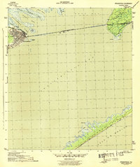
1943 Map of Apalachicola
USGS Topo · Published 1943About this map
Apalachicola stands as a dense grid of waterfront streets at the confluence of the Apalachicola River and the bay during this mid-century survey. The town's industrial and maritime focus is anchored by the Apalachicola Northern railroad, which terminates along the riverbank near Scipio Creek. Across the water, the long span of the John Gorrie Memorial Bridge connects the city to the settlement of Eastpoint, cutting across Apalachicola Bay and passing just south of Big Towhead Island. The map captures the complex delta system where the Little St Marks River and various bayous meet East Bay. To the south, the barrier island landscape is defined by extensive Sand Dunes and tidal features like Nicks Hole at Cedar Point, illustrating the delicate transition between the sheltered bay and the open Gulf of Mexico.
Find a feature on this map
20 named features on this map. Tap any name to fly to it.
Don’t see what you’re looking for? This feature index may not catch every label — zoom into the map to look around manually.
Map Details
Editions of this 1943 Apalachicola Map
4 editions found
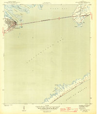
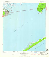
Other maps of this area

1943 · West Pass
USGS Topo · 1:31,680

1943 · Apalachicola
USGS Topo · 1:31,680

1943 · Jackson River
USGS Topo · 1:24,000

1944 · Green Point
USGS Topo · 1:31,680

1944 · Apalachicola
USGS Topo · 1:24,000

1945 · Cape St. George
USGS Topo · 1:31,680

1945 · Beverly
USGS Topo · 1:31,680

1945 · Jackson River
USGS Topo · 1:31,680

1949 · Apalachicola
USGS Topo · 1:250,000

1950 · Goose Island
USGS Topo · 1:31,680