
1943 Map of Apalachicola
USGS Topo · Published 1943About this map
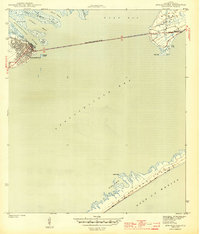
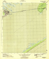
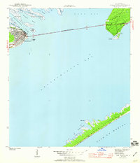
Apalachicola serves as the focal point of this 1943 survey, showing its dense street grid and waterfront industry at the mouth of the Apalachicola River. The Apalachicola Northern railroad lines terminate at the riverbanks, highlighting the city's mid-century role as a vital hub for timber and seafood transport. To the east, the long stretch of the John Gorrie Memorial Bridge spans the waters to reach Eastpoint, connecting the two communities across the expansive Apalachicola Bay.
Find a feature on this map
22 named features on this map. Tap any name to fly to it.
Don’t see what you’re looking for? This feature index may not catch every label — zoom into the map to look around manually.
Map Details
Editions of this 1943 Apalachicola Map
4 editions found
Other maps of this area

1943 · West Pass
USGS Topo · 1:31,680

1943 · Jackson River
USGS Topo · 1:24,000

1944 · Green Point
USGS Topo · 1:31,680

1944 · Apalachicola
USGS Topo · 1:24,000

1945 · Cape St. George
USGS Topo · 1:31,680

1945 · Beverly
USGS Topo · 1:31,680

1945 · Jackson River
USGS Topo · 1:31,680

1949 · Apalachicola
USGS Topo · 1:250,000

1950 · Goose Island
USGS Topo · 1:31,680
1950 · New Inlet
USGS Topo · 1:31,680