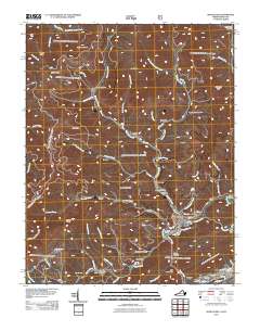
2011 Map of Appalachia
USGS Topo · Published 2011About this map
Big Stone Gap and the surrounding coal country of Wise County are detailed in this survey of the Powell River headwaters. The industrial character of the region is evident through the extensive rail infrastructure, including the Interstate Yards and Southern Yards near the town of Appalachia. This network of tracks connects several small mining and residential communities such as Stonega, Roda, and Derby, many of which are tucked into narrow valleys like Sawmill Hollow and Possum Trot Hollow.
Find a feature on this map
76 named features on this map. Tap any name to fly to it.
Don’t see what you’re looking for? This feature index may not catch every label — zoom into the map to look around manually.
Map Details
Editions of this 2011 Appalachia Map
This is the sole edition of this map. No revisions or reprints were ever made.
Other maps of this area

1890 · Whitesburg
USGS Topo · 1:125,000

1892 · Whitesburg
USGS Topo · 1:125,000

1894 · Estillville
USGS Topo · 1:125,000

1912 · Pound
USGS Topo · 1:48,000

1913 · Oven Fork
USGS Topo · 1:48,000

1914 · Pound
USGS Topo · 1:62,500

1915 · Whitesburg
USGS Topo · 1:62,500

1920 · Wise
USGS Topo · 1:48,000

1921 · Big Stone Gap
USGS Topo · 1:48,000

1921 · Wise
USGS Topo · 1:62,500