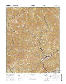
2016 Map of Appalachia
USGS Topo · Published 2016About this map
Big Stone Gap and Appalachia anchor the southern reaches of this mountain landscape, where the Powell River and Roaring Br carve through the high ridges of the Jefferson National Forest. The geography is defined by a dense network of mining and company towns that follow the narrow creek valleys, including Stonega, Roda, and Derby. These settlements are linked by a complex system of mountain roads like Roda Rd and Stonega Rd that navigate the steep terrain between Black Mtn and Stone Mountain.
Find a feature on this map
88 named features on this map. Tap any name to fly to it.
Don’t see what you’re looking for? This feature index may not catch every label — zoom into the map to look around manually.
Map Details
Editions of this 2016 Appalachia Map
This is the sole edition of this map. No revisions or reprints were ever made.
Other maps of this area

1890 · Whitesburg
USGS Topo · 1:125,000

1892 · Whitesburg
USGS Topo · 1:125,000

1894 · Estillville
USGS Topo · 1:125,000

1912 · Pound
USGS Topo · 1:48,000

1913 · Oven Fork
USGS Topo · 1:48,000

1914 · Pound
USGS Topo · 1:62,500

1915 · Whitesburg
USGS Topo · 1:62,500

1920 · Wise
USGS Topo · 1:48,000

1921 · Big Stone Gap
USGS Topo · 1:48,000

1921 · Wise
USGS Topo · 1:62,500