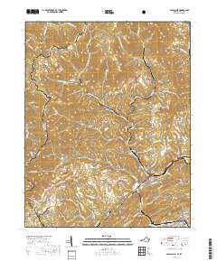
2019 Map of Appalachia
USGS Topo · Published 2019About this map
Big Stone Gap and the neighboring town of Appalachia sit at the southern edge of this Wise County landscape, where the Powell River and Callahan Cr meet. The area is defined by a dense network of mountain settlements including Stonega, Andover, Derby, and Roda, which are linked by narrow valley roads and rail corridors like Crossbrook Rd. These communities are tucked into the steep hollows of Stone Mountain, Black Mtn, and Little Stone Mtn, many of which fall within the Jefferson National Forest. The map detail traces the intricate relationship between the rugged topography and the industrial settlement patterns of the Virginia-Kentucky border. Local genealogy is supported by several marked burial sites, including Andover Cem, Kilbourn Cem, and Oak View Cem, providing specific points of reference for families rooted in these mining and timber communities.
Find a feature on this map
108 named features on this map. Tap any name to fly to it.
Don’t see what you’re looking for? This feature index may not catch every label — zoom into the map to look around manually.
Map Details
Editions of this 2019 Appalachia Map
This is the sole edition of this map. No revisions or reprints were ever made.
Other maps of this area

1890 · Whitesburg
USGS Topo · 1:125,000

1892 · Whitesburg
USGS Topo · 1:125,000

1894 · Estillville
USGS Topo · 1:125,000

1912 · Pound
USGS Topo · 1:48,000

1913 · Oven Fork
USGS Topo · 1:48,000

1914 · Pound
USGS Topo · 1:62,500

1915 · Whitesburg
USGS Topo · 1:62,500

1920 · Wise
USGS Topo · 1:48,000

1921 · Big Stone Gap
USGS Topo · 1:48,000

1921 · Wise
USGS Topo · 1:62,500