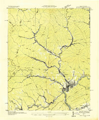
1976 Map of Appalachia
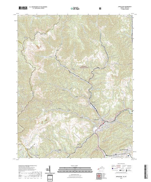
USGS Topo · Published 1981About this map
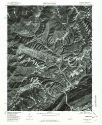
Appalachia and Big Stone Gap serve as the primary hubs in this mid-1970s orthophotoquad, where the deep drainages of the Cumberland Mountains dictate the pattern of settlement. Smaller coal-patch communities like Roda, Stonega, Osaka, and Derby are tucked into narrow valleys, each following the course of mountain streams. The industrial footprint of the region is evident in the rail-aligned layouts of Andover and the junction at Appalachia, where the Powell River meets Callahan Creek. This photographic record from the Division of Mineral Resources captures the landscape before modern reclamation, showing the clear relationship between the steep topography and the linear development of Mud Lick Creek and Looney Creek. To the southwest, Exeter sits near the headwaters of Pigeon Creek, illustrating the dispersal of mining towns throughout Wise County.
Find a feature on this map
13 named features on this map. Tap any name to fly to it.
Don’t see what you’re looking for? This feature index may not catch every label — zoom into the map to look around manually.
Map Details
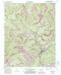
Editions of this 1976 Appalachia Map
This is the sole edition of this map. No revisions or reprints were ever made.
Historical Maps of Big Stone Gap Through Time
4 maps found