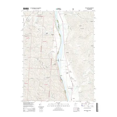
2014 Map of Apple Grove
USGS Topo · Published 2014About this map
The Ohio River carves the primary boundary between Ohio and West Virginia, anchoring a landscape defined by riverside settlements and upland ridges. Along the eastern bank in West Virginia, the community of Apple Grove sits near the Apple Grove Memorial Gardens and Beale Chapel Cem, while Mercers Bottom lies further south. Across the water in Ohio, the Wayne National Forest covers much of the dissected terrain, sheltering small hubs like Thivener and Eureka. This survey documents a high density of small family and community burial grounds, including the Hazel Cem, Cottrell Cem, and McLellon Cem, which are invaluable for genealogical research in Gallia and Mason counties. Significant drainage systems such as Raccoon Creek and Sixteenmile Creek flow toward the main river, cutting through the elevation of Shoestring Ridge and Pleasant Ridge.
Find a feature on this map
88 named features on this map. Tap any name to fly to it.
Don’t see what you’re looking for? This feature index may not catch every label — zoom into the map to look around manually.
Map Details
Editions of this 2014 Apple Grove Map
This is the sole edition of this map. No revisions or reprints were ever made.
Other maps of this area

1906 · Bidwell
USGS Topo · 1:62,500

1906 · Athalia
USGS Topo · 1:62,500

1906 · Glenwood
USGS Topo · 1:62,500

1908 · Bidwell
USGS Topo · 1:62,500

1908 · Athalia
USGS Topo · 1:62,500

1908 · Glenwood
USGS Topo · 1:62,500

1908 · Point Pleasant
USGS Topo · 1:62,500

1926 · Point Pleasant
USGS Topo · 1:62,500

1929 · Point Pleasant
USGS Topo · 1:62,500

1957 · Beech Hill
USGS Topo · 1:24,000