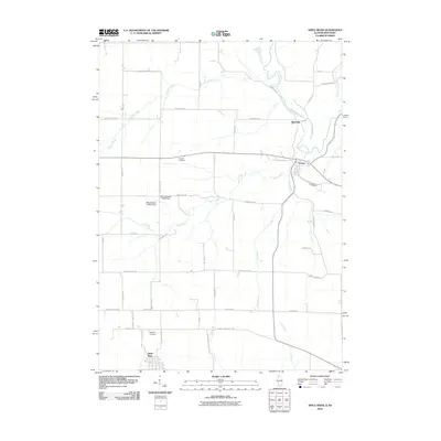
2010 Map of Apple River
USGS Topo · Published 2010About this map
The Pecatonica River winds through this landscape on the Illinois-Wisconsin border, connecting the riverside settlements that define the region's historical geography. In the northern portion of the map, the village of Gratiot serves as a local hub near the Gratiot Cemetery, while Riverside sits at a strategic bend in the river. The southern portion is anchored by the community of Apple River, providing a clear view of the rural road network that links local farms to the larger region.
Find a feature on this map
52 named features on this map. Tap any name to fly to it.
Don’t see what you’re looking for? This feature index may not catch every label — zoom into the map to look around manually.
Map Details
Editions of this 2010 Apple River Map
This is the sole edition of this map. No revisions or reprints were ever made.
Other maps of this area

1902 · Mineral Point
USGS Topo · 1:125,000

1911 · Elizabeth
USGS Topo · 1:62,500

1923 · South Wayne
USGS Topo · 1:62,500

1936 · Elizabeth
USGS Topo · 1:62,500

1937 · Lena
USGS Topo · 1:48,000

1942 · Lena
USGS Topo · 1:62,500

1943 · Lena
USGS Topo · 1:62,500

1952 · Shullsburg
USGS Topo · 1:24,000

1952 · Calamine
USGS Topo · 1:24,000

1954 · Rockford
USGS Topo · 1:250,000