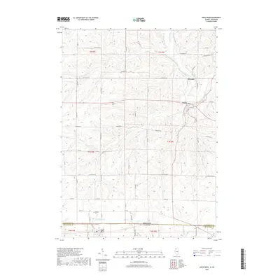
2018 Map of Apple River
USGS Topo · Published 2018About this map
Apple River sits just south of the border separating Jo Daviess County, Illinois, and Lafayette County, Wisconsin. This landscape is defined by the winding course of the Pecatonica River and its numerous tributaries, including Wolf Cr and Copper Cr. The village of Gratiot serves as a northern anchor in Wisconsin, situated near the Gratiot Cem.
Find a feature on this map
59 named features on this map. Tap any name to fly to it.
Don’t see what you’re looking for? This feature index may not catch every label — zoom into the map to look around manually.
Map Details
Editions of this 2018 Apple River Map
This is the sole edition of this map. No revisions or reprints were ever made.
Other maps of this area

1902 · Mineral Point
USGS Topo · 1:125,000

1911 · Elizabeth
USGS Topo · 1:62,500

1923 · South Wayne
USGS Topo · 1:62,500

1936 · Elizabeth
USGS Topo · 1:62,500

1937 · Lena
USGS Topo · 1:48,000

1942 · Lena
USGS Topo · 1:62,500

1943 · Lena
USGS Topo · 1:62,500

1952 · Shullsburg
USGS Topo · 1:24,000

1952 · Calamine
USGS Topo · 1:24,000

1954 · Rockford
USGS Topo · 1:250,000