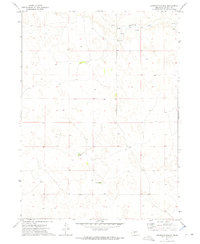
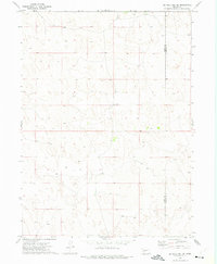
1972 Map of Applegate Ranch
USGS Topo · Published 1975About this map
West Birdwood Creek winds through the northern portion of this Nebraska landscape, providing a vital water source for the ranching operations that define this region of Lincoln County. The map captures a moment in the early 1970s when the land was sparsely settled, centered on cattle ranching and rural education. Centrally located landmarks like Applegate Ranch and Mueller Ranch illustrate the localized importance of specific family holdings in the Sandhills-adjacent terrain. For those researching local education history, the presence of School No 104R near the creek indicates the persistence of rural school districts serving these large landholdings. The geography is marked by numerous springs and small basins, creating a unique hydrological pattern typical of this part of the state before modern agricultural shifts.
Find a feature on this map
6 named features on this map. Tap any name to fly to it.
Don’t see what you’re looking for? This feature index may not catch every label — zoom into the map to look around manually.
Map Details
Editions of this 1972 Applegate Ranch Map
This is the sole edition of this map. No revisions or reprints were ever made.
Other maps of this area

1898 · Paxton
USGS Topo · 1:125,000

1901 · Paxton
USGS Topo · 1:125,000

1954 · North Platte
USGS Topo · 1:250,000

1956 · North Platte
USGS Topo · 1:250,000

1957 · North Platte
USGS Topo · 1:250,000

1967 · North Platte
USGS Topo · 1:250,000
1971 · Paxton North
USGS Topo · 1:24,000
1971 · Hershey West
USGS Topo · 1:24,000
1971 · Sutherland Reservoir NW
USGS Topo · 1:24,000
1972 · Big Bald Hill SE
USGS Topo · 1:24,000