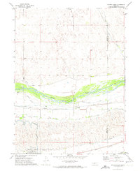
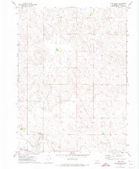
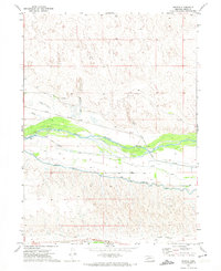
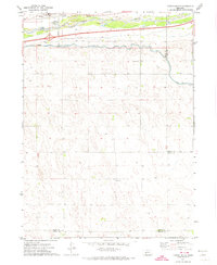
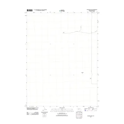
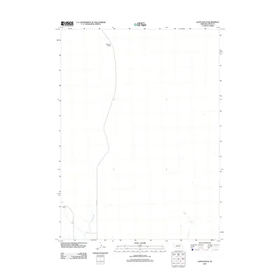
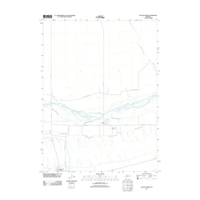
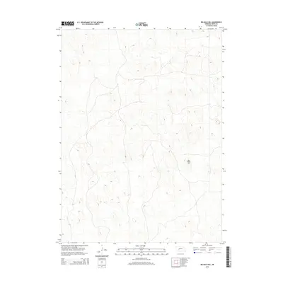
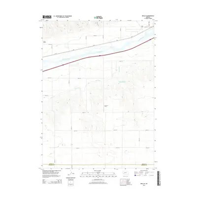
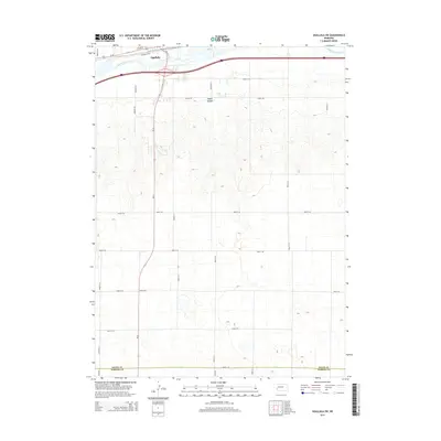
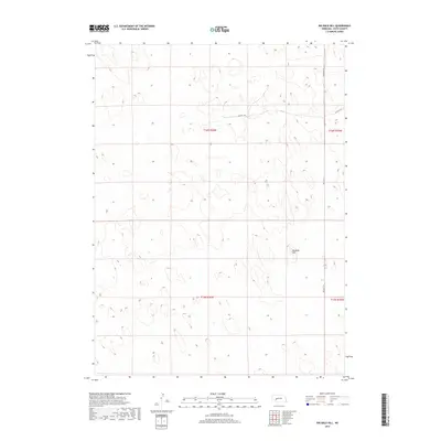
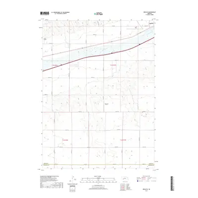
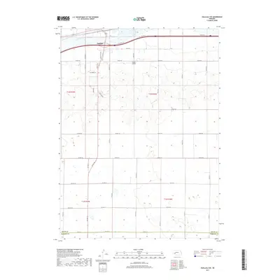
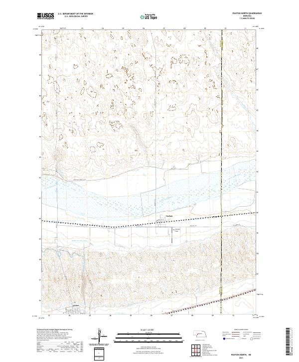
1971 Map of Paxton North
USGS Topo · Published 1974About this map
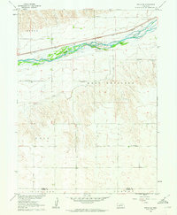
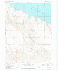
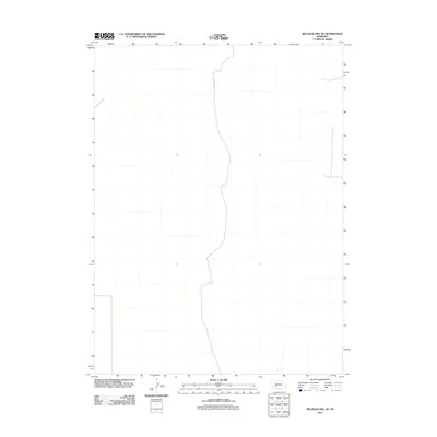
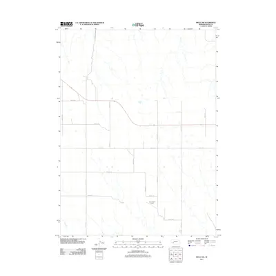
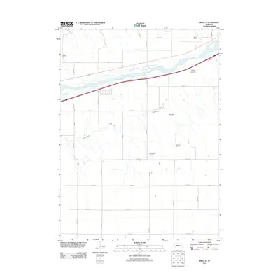
The North Platte River dominates this landscape, its braided channels and sandbars cutting through the heart of Keith and Lincoln counties. Along its southern bank, the Union Pacific railroad corridor serves as the primary artery for settlement, connecting the village of Paxton and the smaller community of Sarben. This map documents a complex irrigation infrastructure essential to the region's agricultural economy, featuring the Diversion Dam and a series of engineered waterways including the Sheridan Wilson Canal and the Sutherland Canal.
Find a feature on this map
15 named features on this map. Tap any name to fly to it.
Don’t see what you’re looking for? This feature index may not catch every label — zoom into the map to look around manually.
Map Details
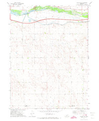
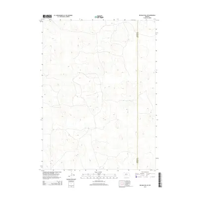
Editions of this 1971 Paxton North Map
This is the sole edition of this map. No revisions or reprints were ever made.
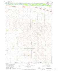
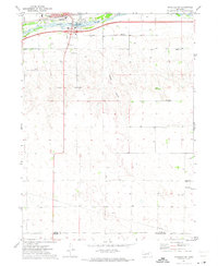
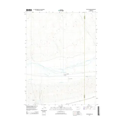
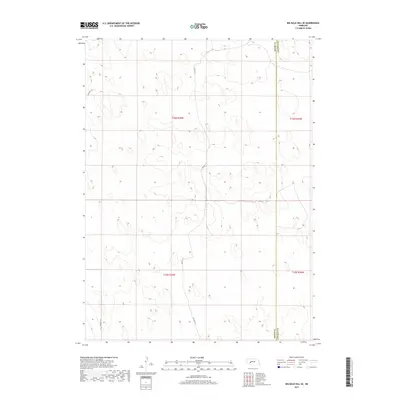
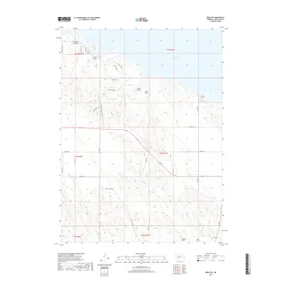
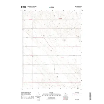
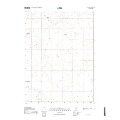
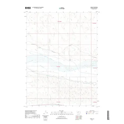
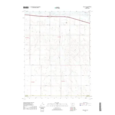
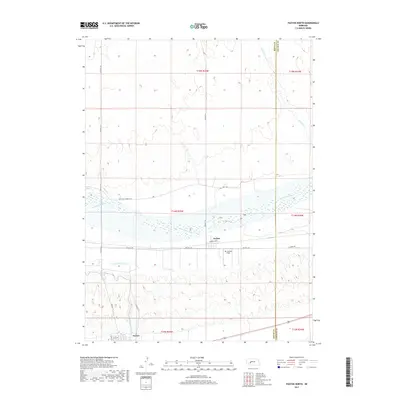
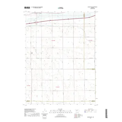
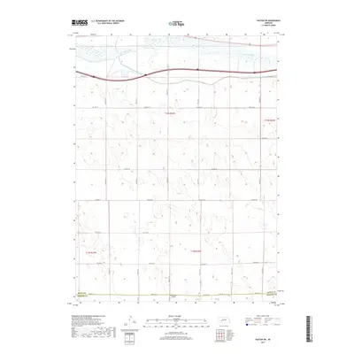
Historical Maps of Paxton Through Time
60 maps found
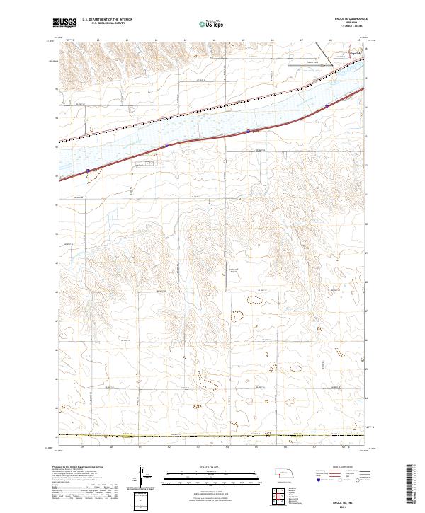
1961 Brule SE
Keith County, NE
1971 Brule NE
Keith County, NE
1971 Brule NW
Keith County, NE
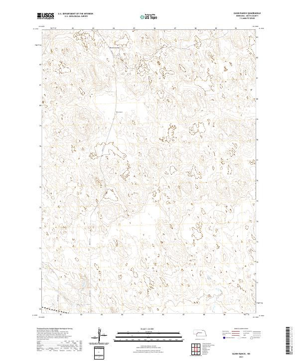
1971 Glinn Ranch
Keith County, NE
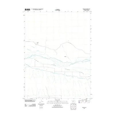
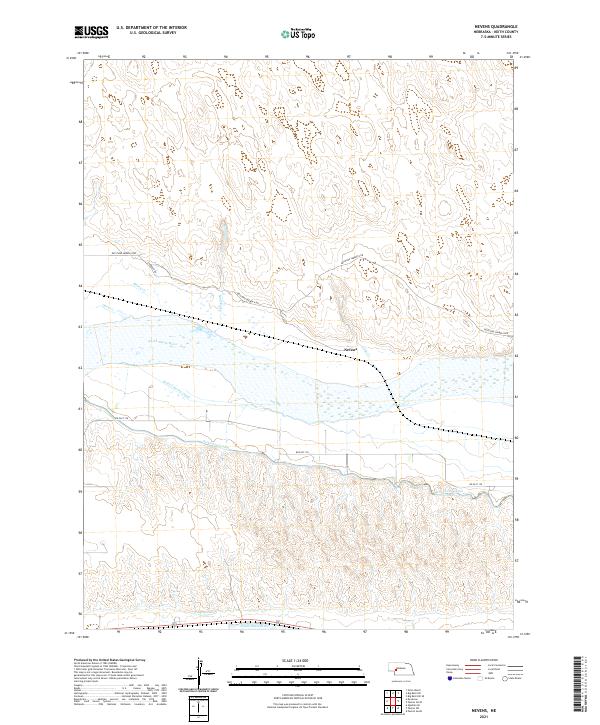
1971 Nevens
Keith County, NE
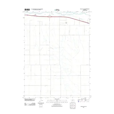
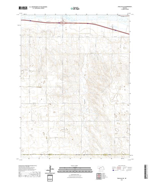
1971 Ogallala SE
Keith County, NE
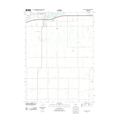
1971 Ogallala SW
Keith County, NE
1971 Paxton North
Keith County, NE
1971 Paxton South
Keith County, NE
1971 Paxton SW
Keith County, NE
1972 Big Bald Hill
Keith County, NE
1972 Big Bald Hill SE
Keith County, NE
2011 Big Bald Hill
Keith County, NE
2011 Big Bald Hill SE
Keith County, NE
2011 Brule NW
Keith County, NE
2011 Brule SE
Keith County, NE
2011 Glinn Ranch
Keith County, NE
2011 Nevens
Keith County, NE
2011 Ogallala SE
Keith County, NE
2011 Ogallala SW
Keith County, NE
2011 Paxton North
Keith County, NE
2011 Paxton South
Keith County, NE
2011 Paxton SW
Keith County, NE
2012 Brule NE
Keith County, NE
2014 Big Bald Hill
Keith County, NE
2014 Big Bald Hill SE
Keith County, NE
2014 Brule NE
Keith County, NE
2014 Brule NW
Keith County, NE
2014 Brule SE
Keith County, NE
2014 Glinn Ranch
Keith County, NE
2014 Nevens
Keith County, NE
2014 Ogallala SE
Keith County, NE
2014 Ogallala SW
Keith County, NE
2014 Paxton North
Keith County, NE
2014 Paxton South
Keith County, NE
2014 Paxton SW
Keith County, NE
2017 Big Bald Hill
Keith County, NE
2017 Big Bald Hill SE
Keith County, NE
2017 Brule NE
Keith County, NE
2017 Brule NW
Keith County, NE
2017 Brule SE
Keith County, NE
2017 Glinn Ranch
Keith County, NE
2017 Nevens
Keith County, NE
2017 Ogallala SE
Keith County, NE
2017 Ogallala SW
Keith County, NE
2017 Paxton North
Keith County, NE
2017 Paxton South
Keith County, NE
2017 Paxton SW
Keith County, NE
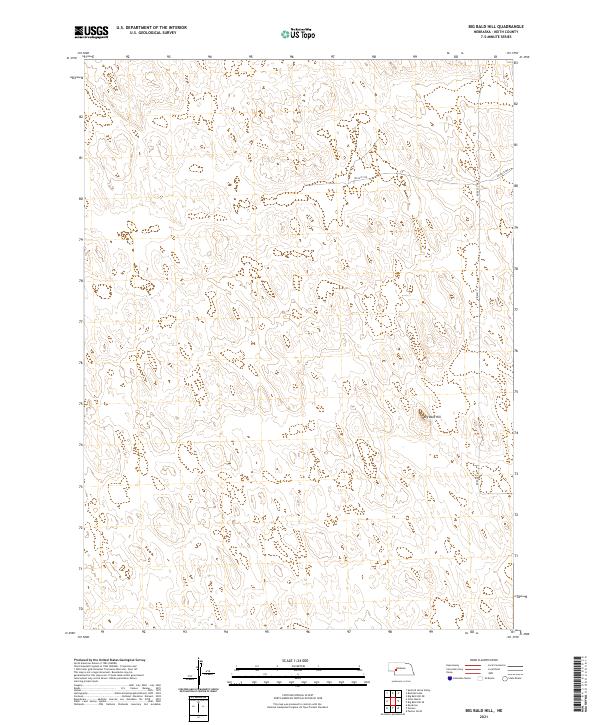
2021 Big Bald Hill
Keith County, NE
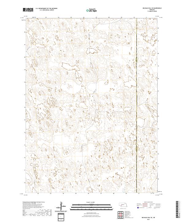
2021 Big Bald Hill SE
Keith County, NE
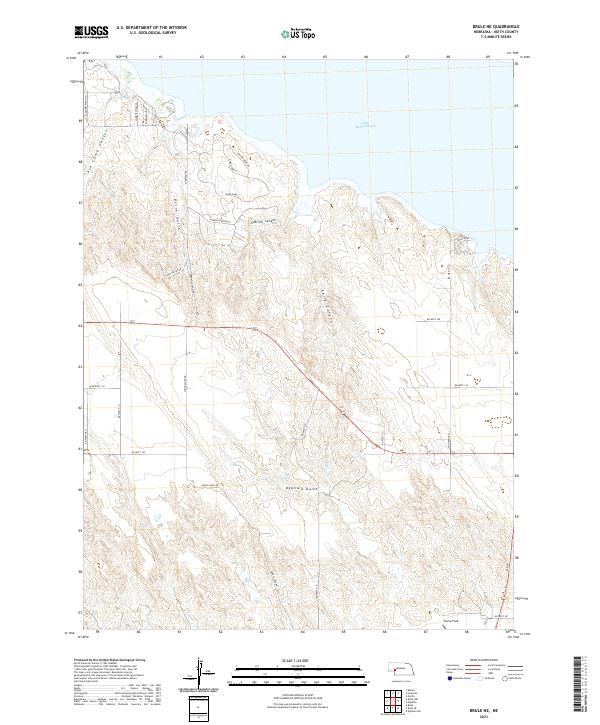
2021 Brule NE
Keith County, NE
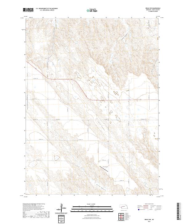
2021 Brule NW
Keith County, NE
2021 Brule SE
Keith County, NE
2021 Glinn Ranch
Keith County, NE
2021 Nevens
Keith County, NE
2021 Ogallala SE
Keith County, NE
2021 Ogallala SW
Keith County, NE
2021 Paxton North
Keith County, NE
2021 Paxton South
Keith County, NE
2021 Paxton SW
Keith County, NE