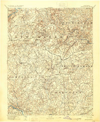
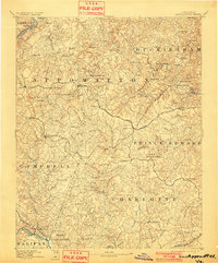
1892 Map of Appomattox
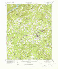
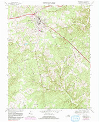
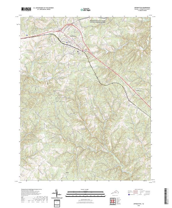
USGS Topo · Published 1929About this map
The James River and Roanoke River form the natural boundaries of this Southside Virginia landscape, surveyed shortly after the Civil War era. The region is defined by a dense network of upland ridges and creek valleys, where the Norfolk and Western Railroad connects key settlements like Evergreen and Pamplin City. Further south, the Lynchburg and Durham R. R. follows the river toward Brookneal, while the Richmond and Danville R. R. cuts across the southeast corner. Local history is anchored by the Grave of Patrick Henry near Aspenwall, illustrating the area's deep ties to the founding generation. The map reveals a transition from river-based transport to rail, with crossing points like Beasleys Ford and Venables Bridge still serving the overland routes between rural communities such as Darlington Heights and Madisonville.
Find a feature on this map
113 named features on this map. Tap any name to fly to it.
Don’t see what you’re looking for? This feature index may not catch every label — zoom into the map to look around manually.
Map Details
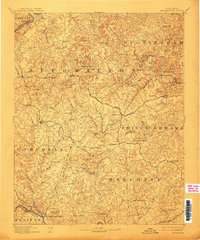
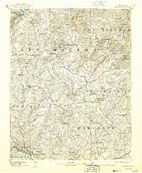
Editions of this 1892 Appomattox Map
6 editions found

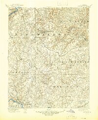
Historical Maps of Appomattox Through Time
5 maps found