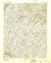
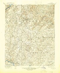
1892 Map of Appomattox
USGS Topo · Published 1943About this map
The Appomattox Court House National Historical Monument marks the center of this Central Virginia landscape, surveyed just decades after the end of the Civil War. The terrain is defined by the headwaters of numerous creeks like Butterwood Cr and Molley Cr, flowing from the ridge lines that separate the James River to the north from the Roanoke river system to the south.
Find a feature on this map
111 named features on this map. Tap any name to fly to it.
Don’t see what you’re looking for? This feature index may not catch every label — zoom into the map to look around manually.
Map Details
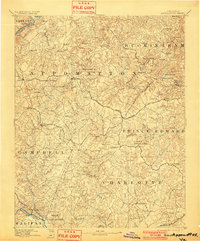
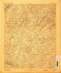
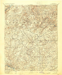
Editions of this 1892 Appomattox Map
6 editions found
Other maps of this area

1891 · Palmyra
USGS Topo · 1:125,000

1891 · Farmville
USGS Topo · 1:125,000

1892 · Lynchburg
USGS Topo · 1:125,000

1892 · Buckingham
USGS Topo · 1:125,000

1892 · Appomattox
USGS Topo · 1:125,000

1893 · Farmville
USGS Topo · 1:125,000

1894 · Lexington
USGS Topo · 1:125,000

1895 · Palmyra
USGS Topo · 1:125,000

1897 · Palmyra
USGS Topo · 1:125,000

1935 · Amherst
USGS Topo · 1:48,000