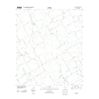
2012 Map of Aquilla
USGS Topo · Published 2012About this map
Aquilla serves as a central point of reference in this North Texas landscape, where a dense network of farm-to-market roads and county lanes connects rural communities. The map documents the agricultural character of the region, anchored by infrastructure like the County Line Gin and the small aviation facility at Square K Airport. Local history is preserved in sites such as Scotts Chapel Cem and Bold Springs Cem, which reflect the generations of families that settled this area. Numerous seasonal and perennial waterways, including Aquilla Creek, Dead Horse Creek, and Alligator Creek, provide the natural drainage for the surrounding fields. Smaller settlements like Tokio, Wiggins, and Menlow appear as clusters at key crossroads, illustrating the distribution of populations in a region defined by its wide-open spaces and rural industry during the early 21st century.
Find a feature on this map
82 named features on this map. Tap any name to fly to it.
Don’t see what you’re looking for? This feature index may not catch every label — zoom into the map to look around manually.
Map Details
Editions of this 2012 Aquilla Map
This is the sole edition of this map. No revisions or reprints were ever made.
Other maps of this area

1892 · Waco
USGS Topo · 1:125,000

1920 · Waco
USGS Topo · 1:125,000

1931 · Whitney
USGS Topo · 1:62,500

1931 · Valley Mills
USGS Topo · 1:62,500

1931 · Elm Mott
USGS Topo · 1:62,500

1954 · Waco
USGS Topo · 1:250,000

1955 · Waco
USGS Topo · 1:250,000

1956 · Abbott
USGS Topo · 1:24,000

1956 · West
USGS Topo · 1:24,000
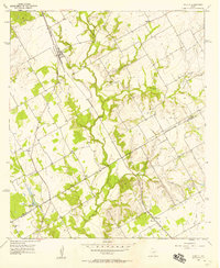
1957 · Aquilla
USGS Topo · 1:24,000