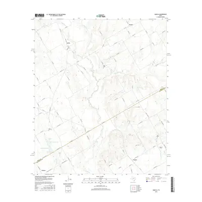
2016 Map of Aquilla
USGS Topo · Published 2016About this map
The boundary between Hill and McLennan counties bisects this Central Texas landscape, where small rural communities are connected by an intricate network of county roads. The settlement of Aquilla serves as a northern anchor near the upper reaches of Aquilla Creek, while Gholson and Wiggins mark the southern stretches of the map. This area is characterized by scattered homesteads and local heritage sites, including Scotts Chapel Cemetery and Prairie Grove Cemetery.
Find a feature on this map
88 named features on this map. Tap any name to fly to it.
Don’t see what you’re looking for? This feature index may not catch every label — zoom into the map to look around manually.
Map Details
Editions of this 2016 Aquilla Map
This is the sole edition of this map. No revisions or reprints were ever made.
Other maps of this area

1892 · Waco
USGS Topo · 1:125,000

1920 · Waco
USGS Topo · 1:125,000

1931 · Whitney
USGS Topo · 1:62,500

1931 · Valley Mills
USGS Topo · 1:62,500

1931 · Elm Mott
USGS Topo · 1:62,500

1954 · Waco
USGS Topo · 1:250,000

1955 · Waco
USGS Topo · 1:250,000

1956 · Abbott
USGS Topo · 1:24,000

1956 · West
USGS Topo · 1:24,000
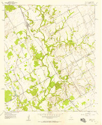
1957 · Aquilla
USGS Topo · 1:24,000