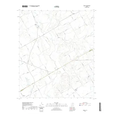
2019 Map of Aquilla
USGS Topo · Published 2019About this map
Aquilla Creek winds through the heart of this Central Texas landscape, defining the transition across the Hill and McLennan County line. The terrain is a network of riparian corridors and upland divides, punctuated by small settlements and family-named landmarks. Near the northern reach, the town of Aquilla serves as a local hub, while the southern edge features the community of Gholson and the smaller Wiggins. For those researching local heritage, the map identifies several significant burial grounds, including Scotts Chapel Cemetery and Prairie Grove Cemetery. The drainage patterns of Snake Creek and Alligator Creek illustrate the natural hydrology that shaped local agriculture. Notable road names like Bad Bad Road and TM West Parkway provide a sense of the modern transportation grid overlaid upon this traditional rural environment.
Find a feature on this map
83 named features on this map. Tap any name to fly to it.
Don’t see what you’re looking for? This feature index may not catch every label — zoom into the map to look around manually.
Map Details
Editions of this 2019 Aquilla Map
This is the sole edition of this map. No revisions or reprints were ever made.
Other maps of this area

1892 · Waco
USGS Topo · 1:125,000

1920 · Waco
USGS Topo · 1:125,000

1931 · Whitney
USGS Topo · 1:62,500

1931 · Valley Mills
USGS Topo · 1:62,500

1931 · Elm Mott
USGS Topo · 1:62,500

1954 · Waco
USGS Topo · 1:250,000

1955 · Waco
USGS Topo · 1:250,000

1956 · Abbott
USGS Topo · 1:24,000

1956 · West
USGS Topo · 1:24,000
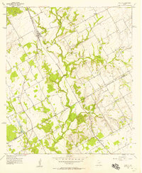
1957 · Aquilla
USGS Topo · 1:24,000