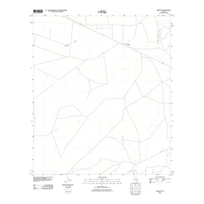
2010 Map of Aragon
USGS Topo · Published 2010About this map
Ryan Flat dominates this high-desert landscape of Presidio County, where the vast, open terrain is defined by its isolation and sparse infrastructure. The settlement of Aragon sits along the northern edge of the map, marking a point of activity in an otherwise quiet ranching region. To the east, the seasonal drainage of Big Trestle Draw cuts through the plains, suggesting the sudden and powerful water flow that characterizes West Texas geography. Navigation through this territory is primarily facilitated by Ranch Rd 2810, which meanders through the southern portion of the sheet. This 2010 survey reveals a landscape where human presence is minimal, anchored by ranch roads and the few named topographical features that provide orientation in the wide-open Trans-Pecos country.
Find a feature on this map
4 named features on this map. Tap any name to fly to it.
Don’t see what you’re looking for? This feature index may not catch every label — zoom into the map to look around manually.
Map Details
Editions of this 2010 Aragon Map
This is the sole edition of this map. No revisions or reprints were ever made.
Other maps of this area

1895 · Marfa
USGS Topo · 1:125,000

1959 · Marfa
USGS Topo · 1:250,000

1965 · Marfa
USGS Topo · 1:250,000
1983 · Ryan
USGS Topo · 1:24,000
1983 · Smith Hills
USGS Topo · 1:24,000
1983 · San Esteban Lake
USGS Topo · 1:24,000
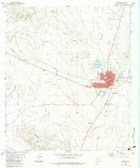
1983 · Marfa
USGS Topo · 1:24,000
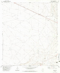
1983 · Aragon
USGS Topo · 1:24,000
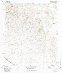
1983 · Burro Draw
USGS Topo · 1:24,000
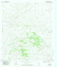
1983 · Oak Creek
USGS Topo · 1:24,000