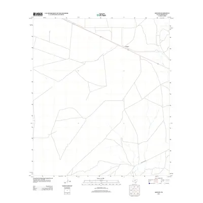
2012 Map of Aragon
USGS Topo · Published 2012About this map
Aragon sits at the northern end of this high desert landscape, positioned along the corridor of U.S. Route 90. This 2012 survey by the U.S. Geological Survey captures the sparse ranching and transportation network characteristic of Presidio County. The map is defined by a web of ranch roads and tracks that navigate the expansive terrain, eventually converging toward the southwestern portion of the quadrangle. In the southern reach, Pinto Canyon Rd cuts across the landscape, marking a significant local route through the open country. The distribution of these roads reflects the large-scale landholdings and limited settlement patterns typical of this region of Far West Texas, where distance and terrain dictate the layout of human infrastructure.
Find a feature on this map
4 named features on this map. Tap any name to fly to it.
Don’t see what you’re looking for? This feature index may not catch every label — zoom into the map to look around manually.
Map Details
Editions of this 2012 Aragon Map
This is the sole edition of this map. No revisions or reprints were ever made.
Other maps of this area

1895 · Marfa
USGS Topo · 1:125,000

1959 · Marfa
USGS Topo · 1:250,000

1965 · Marfa
USGS Topo · 1:250,000
1983 · Ryan
USGS Topo · 1:24,000
1983 · Smith Hills
USGS Topo · 1:24,000
1983 · San Esteban Lake
USGS Topo · 1:24,000
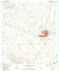
1983 · Marfa
USGS Topo · 1:24,000
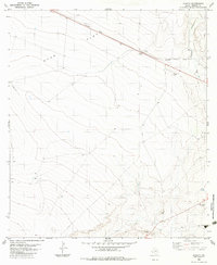
1983 · Aragon
USGS Topo · 1:24,000
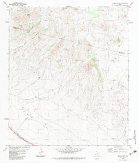
1983 · Burro Draw
USGS Topo · 1:24,000
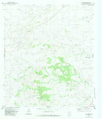
1983 · Oak Creek
USGS Topo · 1:24,000