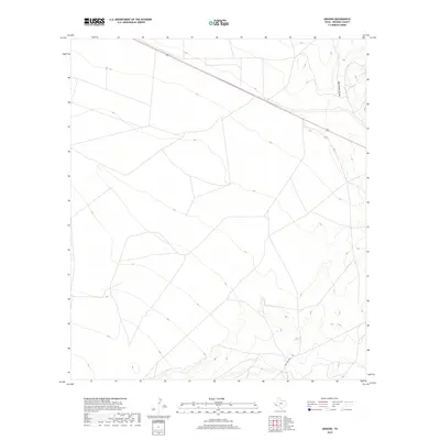
2019 Map of Aragon
USGS Topo · Published 2019About this map
U.S. Route 90 cuts across the northern expanse of this High Plains landscape in Presidio County, providing a critical transportation link through the vast open country. The terrain is characterized by a gradual descent towards the south and east, where the drainage of Big Trestle Draw carves a path through the increasingly complex elevation contours. This survey captures the sparse infrastructure of the region, where connectivity is defined by long, straight stretches of highway and the winding path of Ranch Rd 2810 as it navigates the rising ground to the south. The layout reveals a high-altitude environment where the natural drainage patterns and the engineering of the high-speed roadway are the dominant footprints on the land.
Find a feature on this map
3 named features on this map. Tap any name to fly to it.
Don’t see what you’re looking for? This feature index may not catch every label — zoom into the map to look around manually.
Map Details
Editions of this 2019 Aragon Map
This is the sole edition of this map. No revisions or reprints were ever made.
Other maps of this area

1895 · Marfa
USGS Topo · 1:125,000

1959 · Marfa
USGS Topo · 1:250,000

1965 · Marfa
USGS Topo · 1:250,000
1983 · Ryan
USGS Topo · 1:24,000
1983 · Smith Hills
USGS Topo · 1:24,000
1983 · San Esteban Lake
USGS Topo · 1:24,000
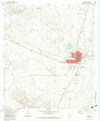
1983 · Marfa
USGS Topo · 1:24,000
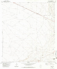
1983 · Aragon
USGS Topo · 1:24,000
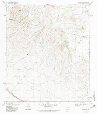
1983 · Burro Draw
USGS Topo · 1:24,000
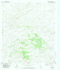
1983 · Oak Creek
USGS Topo · 1:24,000