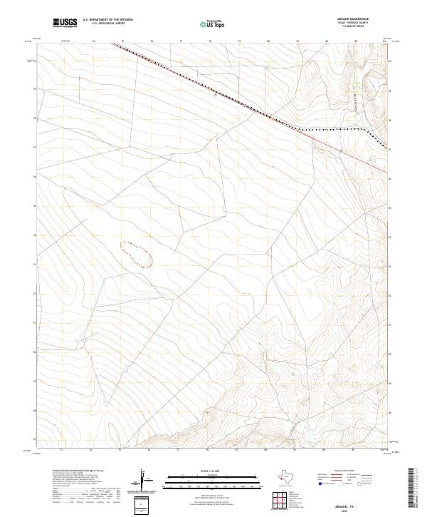
2022 Map of Aragon
USGS Topo · Published 2022About this map
High desert plateaus and deeply incised drainage systems define this Presidio County landscape, where elevation changes reveal the slow movement of water across an arid terrain. The map is bisected by the primary transit corridor of 90, which cuts across the northern expanse, providing a vital link through the Trans-Pecos region. To the northeast, the land drops away into the namesake drainage of Big Trestle Draw, a feature suggesting the historical engineering challenges of crossing the desert floor with rail or road infrastructure. In the southern half of the quadrangle, Ranch Rd 2810 snakes through the topography, connecting the open ranch lands to the regional network. This survey captures a space of vast intervals and few named landmarks, highlighting how infrastructure must conform to the natural breaks and draws of the West Texas geology.
Find a feature on this map
3 named features on this map. Tap any name to fly to it.
Don’t see what you’re looking for? This feature index may not catch every label — zoom into the map to look around manually.
Map Details
Editions of this 2022 Aragon Map
This is the sole edition of this map. No revisions or reprints were ever made.
Other maps of this area

1895 · Marfa
USGS Topo · 1:125,000

1959 · Marfa
USGS Topo · 1:250,000

1965 · Marfa
USGS Topo · 1:250,000
1983 · Ryan
USGS Topo · 1:24,000
1983 · Smith Hills
USGS Topo · 1:24,000
1983 · San Esteban Lake
USGS Topo · 1:24,000
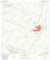
1983 · Marfa
USGS Topo · 1:24,000
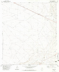
1983 · Aragon
USGS Topo · 1:24,000
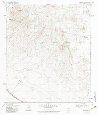
1983 · Burro Draw
USGS Topo · 1:24,000
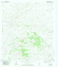
1983 · Oak Creek
USGS Topo · 1:24,000