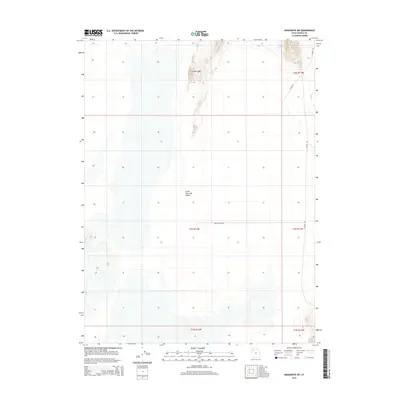
2014 Map of Aragonite SW
USGS Topo · Published 2014About this map
The Great Salt Lake Desert dominates this expansive landscape in eastern Tooele County, revealing a environment characterized by salt flats and minimal human infrastructure. The survey primarily documents the public land survey system grid, crossing through townships like t3s r12w and t2s r11w. Transportation in this arid region is limited to a few specific corridors, most notably White Rocks Rd which cuts horizontally across the central desert floor and Sahara Rd traversing the eastern edge. These routes provide the only significant access points through the vast, open stretches of the salt desert, marking the intersection of natural isolation and regional transit requirements in the early twenty-first century.
Find a feature on this map
10 named features on this map. Tap any name to fly to it.
Don’t see what you’re looking for? This feature index may not catch every label — zoom into the map to look around manually.
Map Details
Editions of this 2014 Aragonite SW Map
This is the sole edition of this map. No revisions or reprints were ever made.
Other maps of this area

1953 · Tooele
USGS Topo · 1:250,000

1954 · Wildcat Mtn
USGS Topo · 1:24,000

1954 · Wig Mtn NW
USGS Topo · 1:24,000

1955 · Wig Mtn NE
USGS Topo · 1:24,000

1955 · Tooele
USGS Topo · 1:250,000

1973 · Knolls
USGS Topo · 1:24,000

1973 · Aragonite NW
USGS Topo · 1:24,000

1973 · Knolls SE
USGS Topo · 1:24,000

1973 · Aragonite SE
USGS Topo · 1:24,000

1973 · Aragonite SW
USGS Topo · 1:24,000