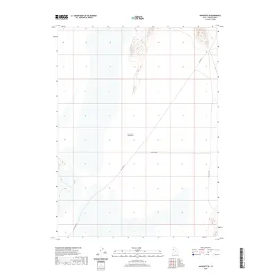
2020 Map of Aragonite SW
USGS Topo · Published 2020About this map
The Great Salt Lake Desert dominates this Tooele County landscape, where the flat basin meets the subtle rise of the surrounding terrain. In this contemporary 2020 record, the geography is defined by a sparse network of desert routes that follow the edges of the salt flats. These thoroughfares, including White Rock Rd, White Rocks Rd, and E Sahara Rd, provide the primary access points across the arid expanse. In the eastern portion of the map, Skull Valley Rd marks a transition toward the valley, tracing a traditional path through the high desert. This survey illustrates the modern configuration of public lands and the essential road infrastructure required to navigate one of the most desolate regions of the American West.
Find a feature on this map
5 named features on this map. Tap any name to fly to it.
Don’t see what you’re looking for? This feature index may not catch every label — zoom into the map to look around manually.
Map Details
Editions of this 2020 Aragonite SW Map
This is the sole edition of this map. No revisions or reprints were ever made.
Other maps of this area

1953 · Tooele
USGS Topo · 1:250,000

1954 · Wildcat Mtn
USGS Topo · 1:24,000

1954 · Wig Mtn NW
USGS Topo · 1:24,000

1955 · Wig Mtn NE
USGS Topo · 1:24,000

1955 · Tooele
USGS Topo · 1:250,000

1973 · Knolls
USGS Topo · 1:24,000

1973 · Aragonite NW
USGS Topo · 1:24,000

1973 · Knolls SE
USGS Topo · 1:24,000

1973 · Aragonite SE
USGS Topo · 1:24,000

1973 · Aragonite SW
USGS Topo · 1:24,000