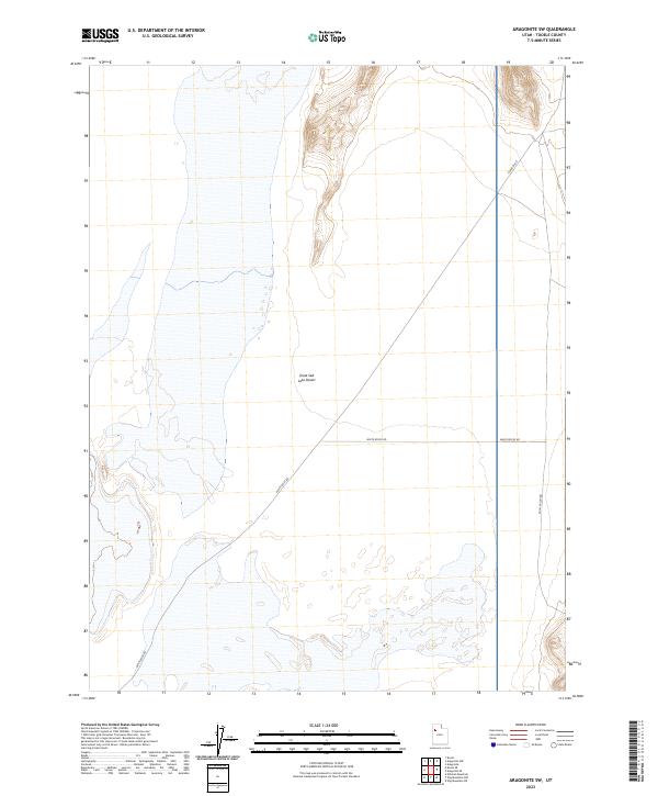
2023 Map of Aragonite SW
USGS Topo · Published 2023About this map
The Great Salt Lake Desert dominates this Tooele County landscape, showing the vast alkali flats and sparse infrastructure typical of this remote basin. The map reveals the geometric precision of the Public Land Survey System overlaying a terrain defined by subtle elevation changes and expansive salt-crusted plains. Only a handful of designated routes, such as Skull Valley Rd and White Rocks Rd, traverse the area, illustrating the isolation of this corner of the Great Basin. The grid of sections and sparse unpaved roads like E Sahara Rd provide the only human-scale orientation in a region largely devoid of permanent settlements or structures. The map is a valuable resource for understanding the modern footprint of transportation through these desert environments.
Find a feature on this map
5 named features on this map. Tap any name to fly to it.
Don’t see what you’re looking for? This feature index may not catch every label — zoom into the map to look around manually.
Map Details
Editions of this 2023 Aragonite SW Map
This is the sole edition of this map. No revisions or reprints were ever made.
Other maps of this area

1953 · Tooele
USGS Topo · 1:250,000

1954 · Wildcat Mtn
USGS Topo · 1:24,000

1954 · Wig Mtn NW
USGS Topo · 1:24,000

1955 · Wig Mtn NE
USGS Topo · 1:24,000

1955 · Tooele
USGS Topo · 1:250,000

1973 · Knolls
USGS Topo · 1:24,000

1973 · Aragonite NW
USGS Topo · 1:24,000

1973 · Knolls SE
USGS Topo · 1:24,000

1973 · Aragonite SE
USGS Topo · 1:24,000

1973 · Aragonite SW
USGS Topo · 1:24,000