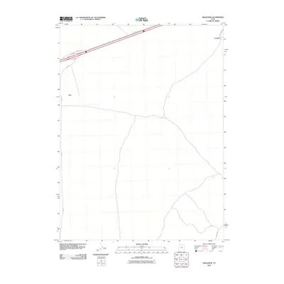
2010 Map of Aragonite
USGS Topo · Published 2010About this map
Aragonite and Clive anchor this landscape in Tooele County, representing the quiet industrial and transport character of the eastern Great Salt Lake Desert. The settlement of Aragonite sits near the base of the mountains, connected to the wider region by the historical corridor of Hastings Pass Rd. The map documents a sparsely populated but vital infrastructure zone, where essential routes like Clive Rd and Cedar Mt Rd traverse the open basin. A primary interstate corridor with its associated Frontage Rd cuts across the northern section of the quadrangle, highlighting the contrast between modern high-speed transit and the older, more specialized desert outposts. This 2010 survey reflects the enduring utility of these remote locations for specialized industry and transit long after their initial establishment.
Find a feature on this map
6 named features on this map. Tap any name to fly to it.
Don’t see what you’re looking for? This feature index may not catch every label — zoom into the map to look around manually.
Map Details
Editions of this 2010 Aragonite Map
This is the sole edition of this map. No revisions or reprints were ever made.
Other maps of this area

1885 · Tooele Valley
USGS Topo · 1:250,000

1953 · Tooele
USGS Topo · 1:250,000

1955 · Tooele
USGS Topo · 1:250,000

1973 · Ripple Valley
USGS Topo · 1:24,000

1973 · Low
USGS Topo · 1:24,000

1973 · Quincy Spring
USGS Topo · 1:24,000

1973 · Aragonite NW
USGS Topo · 1:24,000

1973 · Grayback Hills
USGS Topo · 1:24,000

1973 · Hastings Pass
USGS Topo · 1:24,000

1973 · Aragonite SE
USGS Topo · 1:24,000