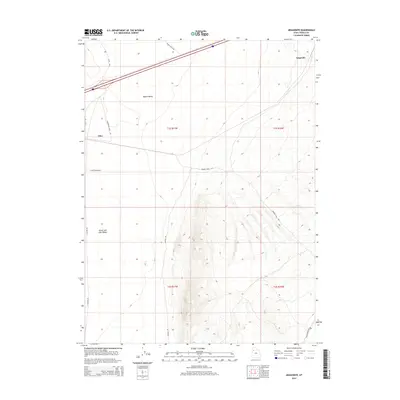
2014 Map of Aragonite
USGS Topo · Published 2014About this map
The Great Salt Lake Desert dominates the western expanse of this high-desert landscape, where the vast alkali flats meet the sloping terrain of the Ripple Valley. The small settlement of Aragonite sits near the northeastern edge of the sheet, while Clive is positioned along the western margin. This 2014 survey documents a region defined by its industrial and transit corridors, including the Aragonite Loop Rd and Clive Complex Rd, which serve specialized facilities in this isolated section of Tooele County. Further south, the landscape transitions into the foothills of the Cedar Mountains, accessed by rugged tracks like Deseret Well Rd and Cedar Mountain Rd. The intersection of township and range lines across the desert floor underscores the rigid grid overlaying this sparse environment, once a critical waypoint for historical overland travel across the salt flats.
Find a feature on this map
16 named features on this map. Tap any name to fly to it.
Don’t see what you’re looking for? This feature index may not catch every label — zoom into the map to look around manually.
Map Details
Editions of this 2014 Aragonite Map
This is the sole edition of this map. No revisions or reprints were ever made.
Other maps of this area

1885 · Tooele Valley
USGS Topo · 1:250,000

1953 · Tooele
USGS Topo · 1:250,000

1955 · Tooele
USGS Topo · 1:250,000

1973 · Ripple Valley
USGS Topo · 1:24,000

1973 · Low
USGS Topo · 1:24,000

1973 · Quincy Spring
USGS Topo · 1:24,000

1973 · Aragonite NW
USGS Topo · 1:24,000

1973 · Grayback Hills
USGS Topo · 1:24,000

1973 · Hastings Pass
USGS Topo · 1:24,000

1973 · Aragonite SE
USGS Topo · 1:24,000