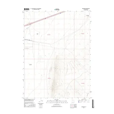
2017 Map of Aragonite
USGS Topo · Published 2017About this map
Aragonite and Clive sit at the edge of the stark Great Salt Lake Desert in this 2017 survey of western Utah. This arid corridor in Tooele County is defined by its industrial and infrastructure role, where the landscape is marked by the Clive Rd and Clive Complex Rd. The terrain transitions from the low-lying salt flats in the west to the higher elevations of Ripple Valley toward the east. This modern topography illustrates how human activity, primarily through specialized road networks like Aragonite Loop Rd and Deseret Well Rd, has been carved into the basin and range environment. The map provides a precise layout of the Public Land Survey System sections, showing the geometric division of this sparsely populated desert landscape.
Find a feature on this map
13 named features on this map. Tap any name to fly to it.
Don’t see what you’re looking for? This feature index may not catch every label — zoom into the map to look around manually.
Map Details
Editions of this 2017 Aragonite Map
This is the sole edition of this map. No revisions or reprints were ever made.
Other maps of this area

1885 · Tooele Valley
USGS Topo · 1:250,000

1953 · Tooele
USGS Topo · 1:250,000

1955 · Tooele
USGS Topo · 1:250,000

1973 · Ripple Valley
USGS Topo · 1:24,000

1973 · Low
USGS Topo · 1:24,000

1973 · Quincy Spring
USGS Topo · 1:24,000

1973 · Aragonite NW
USGS Topo · 1:24,000

1973 · Grayback Hills
USGS Topo · 1:24,000

1973 · Hastings Pass
USGS Topo · 1:24,000

1973 · Aragonite SE
USGS Topo · 1:24,000