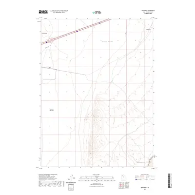
2023 Map of Aragonite
USGS Topo · Published 2023About this map
The Great Salt Lake Desert dominates this arid landscape in Tooele County, where infrastructure clings to the edges of a vast salt flat environment. The small settlements of Aragonite and Clive are situated along the northern corridor, serving as vital transit points in an otherwise sparse basin. To the south, the terrain rises into the Cedar Mountain Wilderness, a protected area defined by its isolation and topographical relief against the surrounding flats.
Find a feature on this map
9 named features on this map. Tap any name to fly to it.
Don’t see what you’re looking for? This feature index may not catch every label — zoom into the map to look around manually.
Map Details
Editions of this 2023 Aragonite Map
This is the sole edition of this map. No revisions or reprints were ever made.
Other maps of this area

1885 · Tooele Valley
USGS Topo · 1:250,000

1953 · Tooele
USGS Topo · 1:250,000

1955 · Tooele
USGS Topo · 1:250,000

1973 · Ripple Valley
USGS Topo · 1:24,000

1973 · Low
USGS Topo · 1:24,000

1973 · Quincy Spring
USGS Topo · 1:24,000

1973 · Aragonite NW
USGS Topo · 1:24,000

1973 · Grayback Hills
USGS Topo · 1:24,000

1973 · Hastings Pass
USGS Topo · 1:24,000

1973 · Aragonite SE
USGS Topo · 1:24,000