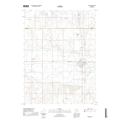
2017 Map of Arapahoe
USGS Topo · Published 2017About this map
The Republican River and its accompanying Cambridge Canal define the southern landscape of this Central Nebraska region, where the river valley transitions into the prominent upland of Union Ridge to the north. In 2017, the city of Arapahoe serves as the central hub of activity, situated at the junction of several critical waterways including Muddy Cr. The grid of the town is clearly documented, showing established residential and commercial streets such as Main St, Chestnut St, and Locust St.
Find a feature on this map
48 named features on this map. Tap any name to fly to it.
Don’t see what you’re looking for? This feature index may not catch every label — zoom into the map to look around manually.
Map Details
Editions of this 2017 Arapahoe Map
This is the sole edition of this map. No revisions or reprints were ever made.
Other maps of this area

1896 · Arapahoe
USGS Topo · 1:125,000

1898 · Arapahoe
USGS Topo · 1:125,000

1954 · McCook
USGS Topo · 1:250,000

1955 · Grand Island
USGS Topo · 1:250,000

1957 · McCook
USGS Topo · 1:250,000

1957 · Grand Island
USGS Topo · 1:250,000

1958 · McCook
USGS Topo · 1:250,000

1958 · Grand Island
USGS Topo · 1:250,000

1958 · Edison
USGS Topo · 1:24,000
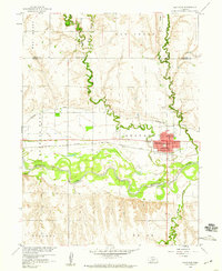
1958 · Arapahoe
USGS Topo · 1:24,000