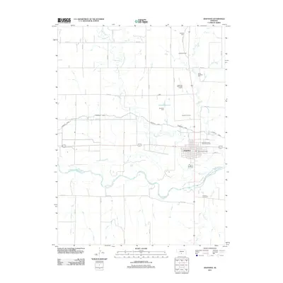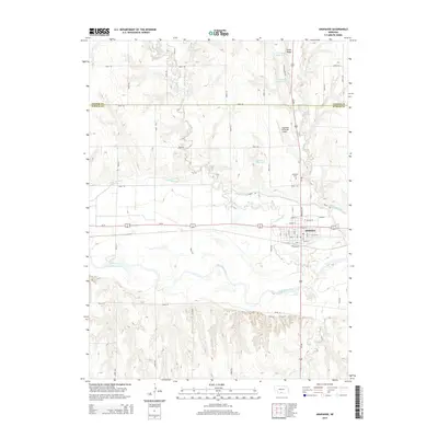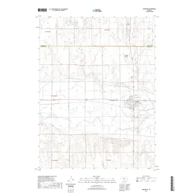
2021 Map of Arapahoe
USGS Topo · Published 2021About this map
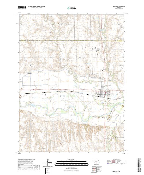
Arapahoe sits at the intersection of prairie agriculture and managed water resources in this southern Nebraska landscape. The town grid is clearly defined by historical thoroughfares like Main St, Chestnut St, and Elm St, reflecting the structured growth typical of Great Plains settlements. The surrounding terrain is marked by a series of named catchments including Leissing Reservoir, Dickmeyer Reservoir, and Krumme Reservoir, which highlight the critical importance of water management for the region's ranching and farming operations.
Find a feature on this map
29 named features on this map. Tap any name to fly to it.
Don’t see what you’re looking for? This feature index may not catch every label — zoom into the map to look around manually.
Map Details
Editions of this 2021 Arapahoe Map
This is the sole edition of this map. No revisions or reprints were ever made.
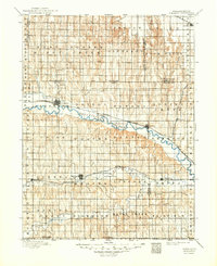
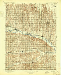
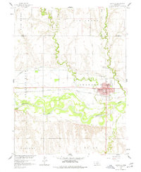
Historical Maps of Arapahoe Through Time
7 maps found