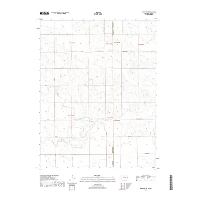
2019 Map of Arapahoe NE
USGS Topo · Published 2019About this map
The Smoky Hill River winds across the high plains of the Colorado-Kansas state line, defining the southern portion of this landscape. This 2019 survey documents a sparsely populated agricultural and ranching region where the terrain is carved by the Big Timber Creek and Willow Cr drainages. The map reveals the rigid geometry of the Public Land Survey System, with township boundaries like t13s r42w and t12s r41w organizing the vast open sections.
Find a feature on this map
25 named features on this map. Tap any name to fly to it.
Don’t see what you’re looking for? This feature index may not catch every label — zoom into the map to look around manually.
Map Details
Editions of this 2019 Arapahoe NE Map
This is the sole edition of this map. No revisions or reprints were ever made.
Other maps of this area

1892 · Cheyenne Wells
USGS Topo · 1:125,000

1894 · Cheyenne Wells
USGS Topo · 1:125,000

1954 · Limon
USGS Topo · 1:250,000

1954 · Lamar
USGS Topo · 1:250,000

1954 · Goodland
USGS Topo · 1:250,000

1955 · Scott City
USGS Topo · 1:250,000

1956 · Goodland
USGS Topo · 1:250,000

1957 · Limon
USGS Topo · 1:250,000

1957 · Goodland
USGS Topo · 1:250,000

1958 · Limon
USGS Topo · 1:250,000