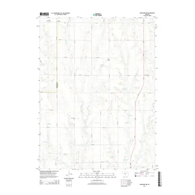
2014 Map of Arapahoe NW
USGS Topo · Published 2014About this map
The agrarian highlands along the border of Frontier Co and Gosper Co are defined by a network of drainage basins and family-named reservoirs in south-central Nebraska. Small-scale irrigation and livestock management are evident through features like Robinson Reservoir, Essmeyer Reservoir, and Stagemeyer Reservoir, which dot the landscape between the drainages of Muddy Cr and Elk Cr. For those tracing local heritage, several rural cemeteries are documented across the section lines, including Salem Lutheran Cem, Salem East Cem, and East Muddy Cem. The high ground of Union Ridge in the east provides a natural divide, while the north-south corridor of Us-283 serves as the primary artery through this sparsely populated agricultural region.
Find a feature on this map
42 named features on this map. Tap any name to fly to it.
Don’t see what you’re looking for? This feature index may not catch every label — zoom into the map to look around manually.
Map Details
Editions of this 2014 Arapahoe NW Map
This is the sole edition of this map. No revisions or reprints were ever made.
Other maps of this area

1896 · Lexington
USGS Topo · 1:125,000

1896 · Arapahoe
USGS Topo · 1:125,000

1898 · Arapahoe
USGS Topo · 1:125,000

1899 · Lexington
USGS Topo · 1:125,000

1902 · Gothenburg
USGS Topo · 1:125,000

1954 · McCook
USGS Topo · 1:250,000

1955 · Grand Island
USGS Topo · 1:250,000

1957 · McCook
USGS Topo · 1:250,000

1957 · Grand Island
USGS Topo · 1:250,000

1958 · McCook
USGS Topo · 1:250,000