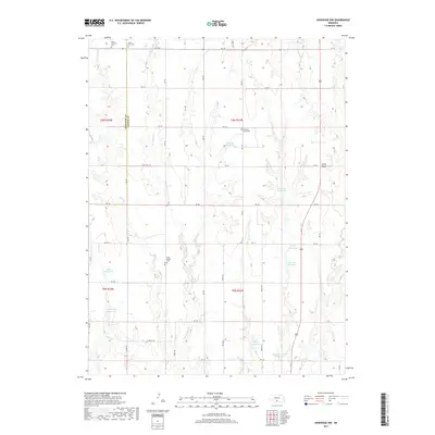
2017 Map of Arapahoe NW
USGS Topo · Published 2017About this map
The agricultural landscape of Frontier and Gosper counties is defined by a complex network of man-made irrigation and livestock water sources. Numerous reservoirs, including Robinson Reservoir, Helms Reservoir, and Stagemeyer Reservoir, are distributed across the high plains, illustrating the critical role of water management in this region of Nebraska. The terrain is marked by significant drainages such as Elder Cr and the E Br Muddy Cr, which cut through the level topography near Union Ridge. For genealogists and local historians, the map provides precise locations for several rural burial grounds that serve as landmarks for early pioneer settlements, such as Salem Lutheran Cem, Salem East Cem, and Pleasant Grove Cem. These sites, along with the East Muddy Cem, anchor the history of these farming townships within a grid of section roads like RD 732 and RD 736.
Find a feature on this map
32 named features on this map. Tap any name to fly to it.
Don’t see what you’re looking for? This feature index may not catch every label — zoom into the map to look around manually.
Map Details
Editions of this 2017 Arapahoe NW Map
This is the sole edition of this map. No revisions or reprints were ever made.
Other maps of this area

1896 · Lexington
USGS Topo · 1:125,000

1896 · Arapahoe
USGS Topo · 1:125,000

1898 · Arapahoe
USGS Topo · 1:125,000

1899 · Lexington
USGS Topo · 1:125,000

1902 · Gothenburg
USGS Topo · 1:125,000

1954 · McCook
USGS Topo · 1:250,000

1955 · Grand Island
USGS Topo · 1:250,000

1957 · McCook
USGS Topo · 1:250,000

1957 · Grand Island
USGS Topo · 1:250,000

1958 · McCook
USGS Topo · 1:250,000