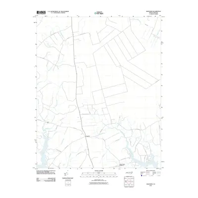
2010 Map of Arapahoe
USGS Topo · Published 2010About this map
Arapahoe serves as the central hub of this coastal plain landscape, where the flat terrain is defined by an intricate network of creeks and drainage features flowing toward the Neuse River. The community at Cash Corner Number 2 sits near the southern marshlands, surrounded by a dense web of local watercourses such as Dawson Creek and Deep Run. These waterways, often referred to by local nomenclature as "guts," including Cedar Gut and Wheeler Gut, illustrate the low-lying, hydrologically complex nature of Pamlico County. The road network, featuring names like Brinson Field Rd and Hardison Field Rd, suggests a landscape shaped by local landholding and agricultural traditions. Further north, the land is drained by Neal Creek and Alligator Creek, highlighting the transition toward the larger estuary systems of eastern North Carolina.
Find a feature on this map
41 named features on this map. Tap any name to fly to it.
Don’t see what you’re looking for? This feature index may not catch every label — zoom into the map to look around manually.
Map Details
Editions of this 2010 Arapahoe Map
This is the sole edition of this map. No revisions or reprints were ever made.
Other maps of this area

1948 · Oriental
USGS Topo · 1:24,000

1949 · Havelock
USGS Topo · 1:24,000

1949 · Merrimon
USGS Topo · 1:24,000

1949 · Cherry Point
USGS Topo · 1:24,000

1950 · Vandemere
USGS Topo · 1:24,000

1950 · Upper Broad Creek
USGS Topo · 1:24,000

1950 · Arapahoe
USGS Topo · 1:24,000

1951 · Arapahoe
USGS Topo · 1:24,000
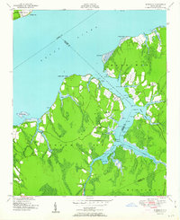
1951 · Merrimon
USGS Topo · 1:24,000
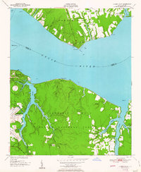
1951 · Cherry Point
USGS Topo · 1:24,000