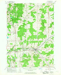
1966 Map of Arcade
USGS Topo · Published 1968About this map
Arcade serves as the focal point of this mid-1960s survey, situated where Cattaraugus Creek meets the Penn Central railroad line. The landscape is a network of small dairy-country settlements and rural crossroads like Punkshire Corners, Hicks Corners, and Dutchtown. For genealogists, the map is particularly useful for locating several burial grounds, including the Protection Cem, Punkshire Cem, and Sardinia Cem, which are clearly marked near their respective hamlets.
Find a feature on this map
67 named features on this map. Tap any name to fly to it.
Don’t see what you’re looking for? This feature index may not catch every label — zoom into the map to look around manually.
Map Details
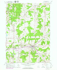
Editions of this 1966 Arcade Map
2 editions found
Other maps of this area

1923 · Arcade
USGS Topo · 1:62,500

1924 · Ellicottville
USGS Topo · 1:62,500

1924 · Franklinville
USGS Topo · 1:62,500

1925 · Springville
USGS Topo · 1:62,500

1925 · Arcade
USGS Topo · 1:62,500

1941 · Ellicottville
USGS Topo · 1:62,500

1942 · Franklinville
USGS Topo · 1:62,500
1955 · Holland
USGS Topo · 1:24,000

1957 · Sardinia
USGS Topo · 1:24,000
1957 · Strykersville
USGS Topo · 1:24,000