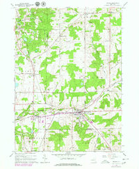
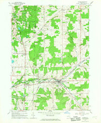
1966 Map of Arcade
USGS Topo · Published 1979About this map
Cattaraugus Creek carves through this Western New York landscape, serving as a natural boundary between Erie, Wyoming, and Cattaraugus counties. The village of Arcade serves as a local hub, where the Arcade and Attica RR meets the Conrail lines, illustrating a period of active rail transit and transport. The rural character of the area is defined by numerous small settlements like Punkshire Corners and Vermont Hill, alongside recreational and community spaces such as Camp Merrie Mill and a drive-in theater near Yorkshire. Local genealogy is well-supported by several identified burial grounds, including Protection Cem and Sardinia Cem. The terrain rises to Bixby Hill in the south, while the landscape is dotted with utilitarian features like a gaging station and multiple gravel pits, reflecting the region's mid-century rural economy.
Find a feature on this map
74 named features on this map. Tap any name to fly to it.
Don’t see what you’re looking for? This feature index may not catch every label — zoom into the map to look around manually.
Map Details
Editions of this 1966 Arcade Map
2 editions found
Other maps of this area

1923 · Arcade
USGS Topo · 1:62,500

1924 · Ellicottville
USGS Topo · 1:62,500

1924 · Franklinville
USGS Topo · 1:62,500

1925 · Springville
USGS Topo · 1:62,500

1925 · Arcade
USGS Topo · 1:62,500

1941 · Ellicottville
USGS Topo · 1:62,500

1942 · Franklinville
USGS Topo · 1:62,500
1955 · Holland
USGS Topo · 1:24,000

1957 · Sardinia
USGS Topo · 1:24,000
1957 · Strykersville
USGS Topo · 1:24,000