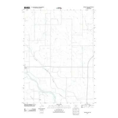
2011 Map of Arcadia East
USGS Topo · Published 2011About this map
The Middle Loup River valley defines the southern reach of this Nebraska landscape, where the interplay of natural watercourses and engineered irrigation is clearly visible. The region's agricultural dependency is underscored by the prominence of Canal Number 4 and Canal Number 3, which cut across the prairie to manage the flow from the river and its tributaries. These man-made channels run alongside natural drainages like Hawthorne Creek and Hays Creek, illustrating the extensive effort to water the surrounding plains.
Find a feature on this map
7 named features on this map. Tap any name to fly to it.
Don’t see what you’re looking for? This feature index may not catch every label — zoom into the map to look around manually.
Map Details
Editions of this 2011 Arcadia East Map
This is the sole edition of this map. No revisions or reprints were ever made.
Other maps of this area

1899 · Loup
USGS Topo · 1:125,000

1951 · Arcadia SE
USGS Topo · 1:24,000

1951 · Arcadia West
USGS Topo · 1:24,000

1951 · Arcadia East
USGS Topo · 1:24,000

1951 · Arcadia SW
USGS Topo · 1:24,000

1952 · Comstock
USGS Topo · 1:24,000

1952 · Comstock SE
USGS Topo · 1:24,000

1953 · Loup City NW
USGS Topo · 1:24,000

1953 · Loup City
USGS Topo · 1:24,000

1954 · Ord
USGS Topo · 1:24,000