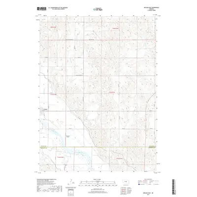
2017 Map of Arcadia East
USGS Topo · Published 2017About this map
Arcadia sits at the transition between the rolling Nebraska uplands and the fertile valley of the Middle Loup River. This 2017 study illustrates the critical role of water management in the region, featuring an extensive irrigation network including Canal Number 2 and Canal Number 4 that supports the local agricultural economy. While the town center is defined by streets like Bridge St and May St, the surrounding landscape is marked by long-standing landmarks of local heritage, such as the Balsora Cem located near the boundary between Valley and Sherman Counties. The terrain north of the river is dissected by drainage systems like Hawthorne Cr and Hays Cr, which cut through the high ground. Modern infrastructure is represented by the Riverbend Airport, situated on the river's northern bank, serving as a hub for the rural community.
Find a feature on this map
33 named features on this map. Tap any name to fly to it.
Don’t see what you’re looking for? This feature index may not catch every label — zoom into the map to look around manually.
Map Details
Editions of this 2017 Arcadia East Map
This is the sole edition of this map. No revisions or reprints were ever made.
Other maps of this area

1899 · Loup
USGS Topo · 1:125,000

1951 · Arcadia SE
USGS Topo · 1:24,000

1951 · Arcadia West
USGS Topo · 1:24,000

1951 · Arcadia East
USGS Topo · 1:24,000

1951 · Arcadia SW
USGS Topo · 1:24,000

1952 · Comstock
USGS Topo · 1:24,000

1952 · Comstock SE
USGS Topo · 1:24,000

1953 · Loup City NW
USGS Topo · 1:24,000

1953 · Loup City
USGS Topo · 1:24,000

1954 · Ord
USGS Topo · 1:24,000